 vesseltracker.com
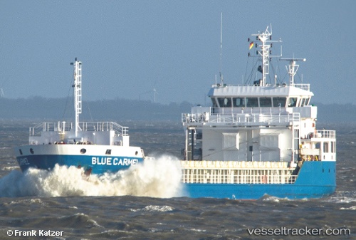
Vessel ELENI K IMO: 9491903, MMSI: 538090645 General Cargo
UTC, 51.35915, 4.28561, course: 96, speed: 0
UTC, 51.35916, 4.28559, course: 94, speed: 0
2026-03-03 13:47:39 UTC, 51.35918, 4.28562, course: 95, speed: 0
Live AIS position:
UTC. Near Zandvliet),
updated 2026-03-03 13:47:39 UTC.
Find the position of the vessel ELENI K on the map. The latter are known coordinates and path.
marine traffic ship tracker show on live map
The current position of vessel ELENI K is 51.35918 lat / 4.28562 lng. Updated: 2026-03-03 13:47:39 UTCCurrently sailing under the flag of Marshall Islands
Details:
Last coordinates of the vessel:
UTC, 51.35918, 4.28562, course: 95, speed: 0UTC, 51.35915, 4.28561, course: 96, speed: 0
UTC, 51.35916, 4.28559, course: 94, speed: 0
2026-03-03 13:47:39 UTC, 51.35918, 4.28562, course: 95, speed: 0